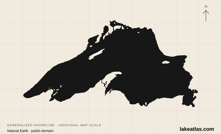
Shoreline illustration · individual scale · Natural Earth
Canada / United States
Lake Superior
An inland sea
- Surface area
- 31,700 sq mi (82,100 km²)
- Maximum depth
- 1,332 ft (406 m)
Explore 8 sourced profiles from Canada in our current collection. Coverage will grow as more lakes are researched.
Shoreline illustration · individual scale · Natural Earth
Canada / United States
An inland sea
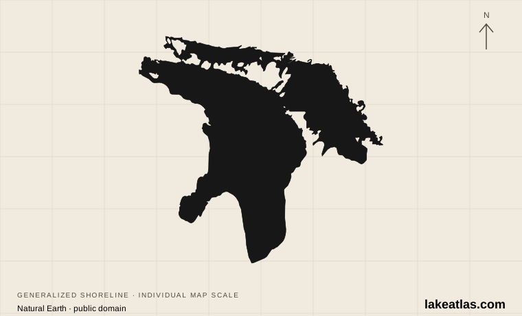
Shoreline illustration · individual scale · Natural Earth
Canada / United States
Bays, islands and maritime history
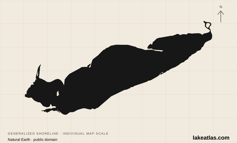
Shoreline illustration · individual scale · Natural Earth
Canada / United States
Shallow water, beaches and migration
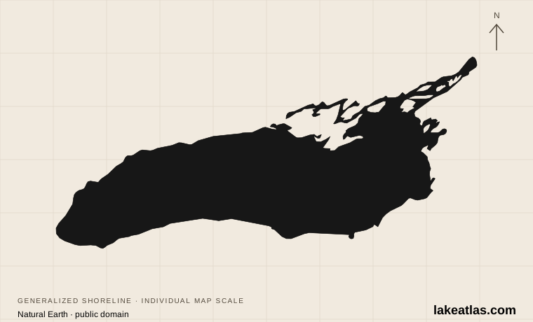
Shoreline illustration · individual scale · Natural Earth
Canada / United States
Deep water at the end of the Great Lakes
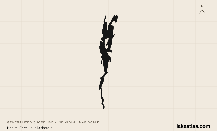
Shoreline illustration · individual scale · Natural Earth
United States / Canada
A lake between states and countries
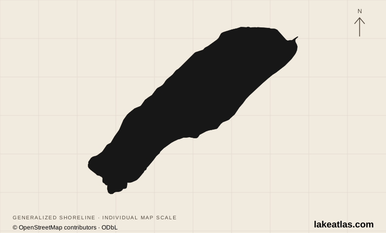
Shoreline illustration · individual scale · © OpenStreetMap contributors · ODbL
Canada
Glacial color in the Canadian Rockies
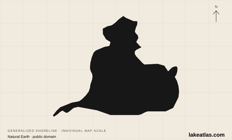
Shoreline illustration · individual scale · Natural Earth
United States / Canada
Wetlands between the Great Lakes
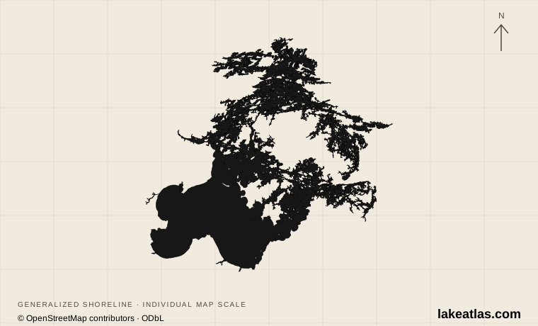
Shoreline illustration · individual scale · © OpenStreetMap contributors · ODbL
United States / Canada
International waters and island channels