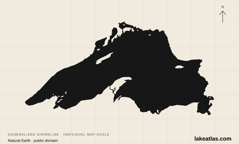
Shoreline illustration · individual scale · Natural Earth
Canada / United States
Lake Superior
An inland sea
- Surface area
- 31,700 sq mi (82,100 km²)
- Maximum depth
- 1,332 ft (406 m)
Explore 37 sourced profiles from North America in our current collection. Coverage will grow as more lakes are researched.
Shoreline illustration · individual scale · Natural Earth
Canada / United States
An inland sea
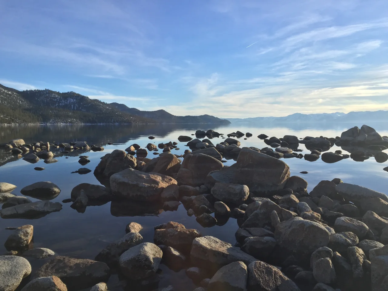
Alberto Farca / Pexels, via USGS · Pexels License · Resized; cropped to frame.
United States
A window into the Sierra
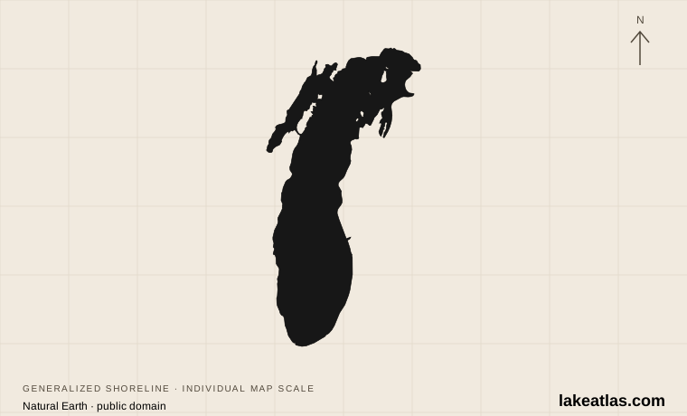
Shoreline illustration · individual scale · Natural Earth
United States
Dunes, cities and open horizons
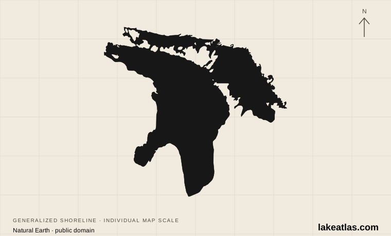
Shoreline illustration · individual scale · Natural Earth
Canada / United States
Bays, islands and maritime history
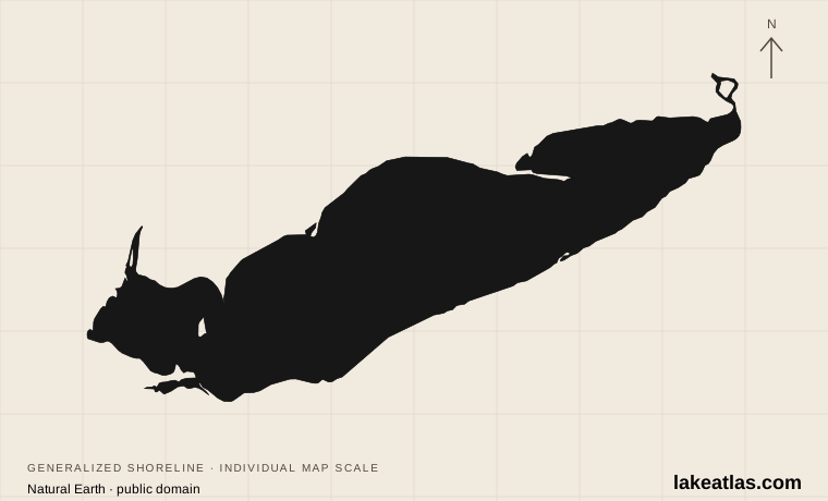
Shoreline illustration · individual scale · Natural Earth
Canada / United States
Shallow water, beaches and migration
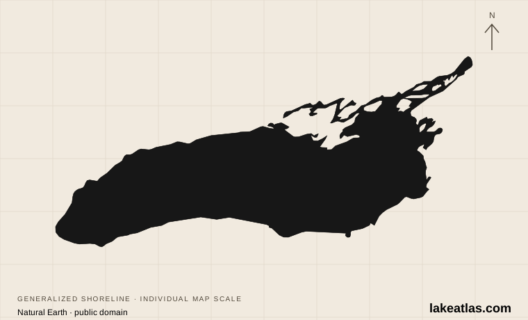
Shoreline illustration · individual scale · Natural Earth
Canada / United States
Deep water at the end of the Great Lakes
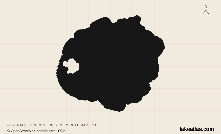
Shoreline illustration · individual scale · © OpenStreetMap contributors · ODbL
United States
Blue water in a volcanic caldera
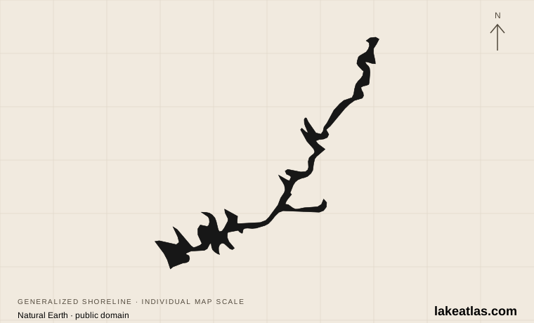
Shoreline illustration · individual scale · Natural Earth
United States
Flooded canyons of the Colorado River
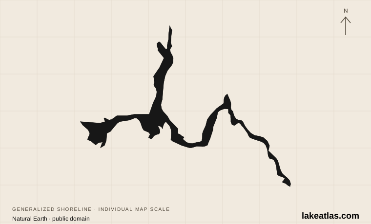
Shoreline illustration · individual scale · Natural Earth
United States
A changing desert reservoir
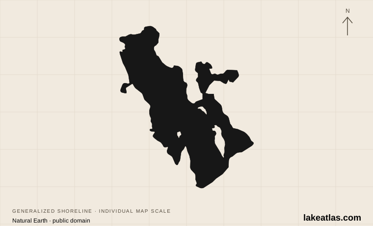
Shoreline illustration · individual scale · Natural Earth
United States
A shallow lake with a moving shore
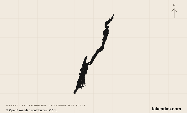
Shoreline illustration · individual scale · © OpenStreetMap contributors · ODbL
United States
Adirondack shores and island camps
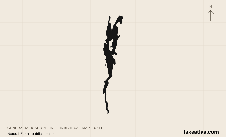
Shoreline illustration · individual scale · Natural Earth
United States / Canada
A lake between states and countries
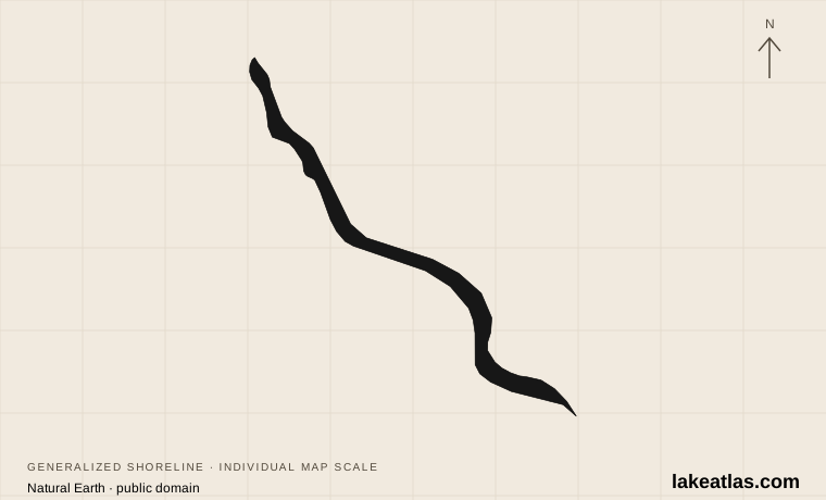
Shoreline illustration · individual scale · Natural Earth
United States
A deep lake into the Cascades
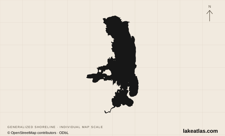
Shoreline illustration · individual scale · © OpenStreetMap contributors · ODbL
United States
Mountain views and island shores
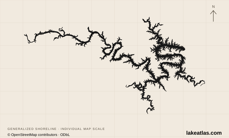
Shoreline illustration · individual scale · © OpenStreetMap contributors · ODbL
United States
River valleys turned lake country
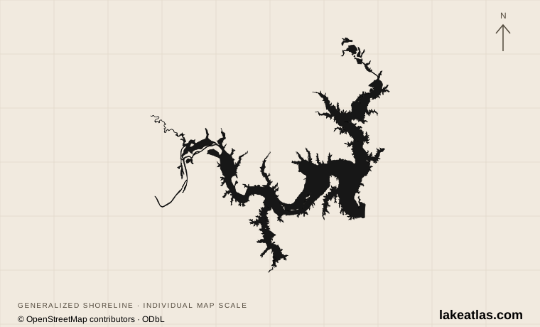
Shoreline illustration · individual scale · © OpenStreetMap contributors · ODbL
United States
Two states and two river arms
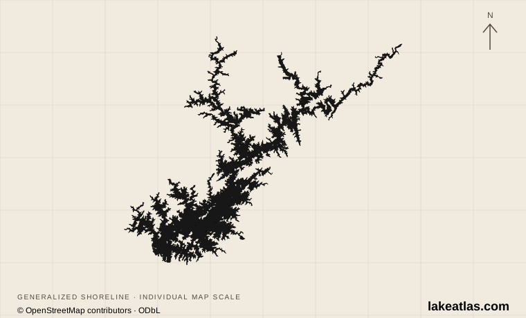
Shoreline illustration · individual scale · © OpenStreetMap contributors · ODbL
United States
River arms above Atlanta
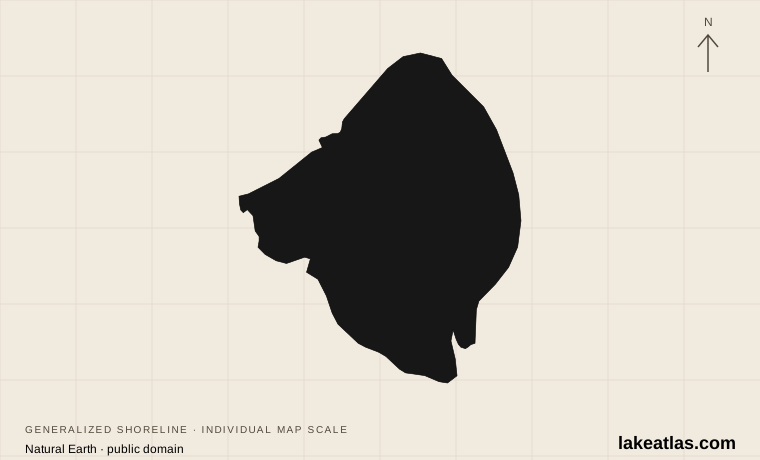
Shoreline illustration · individual scale · Natural Earth
United States
Big water in a shallow natural basin
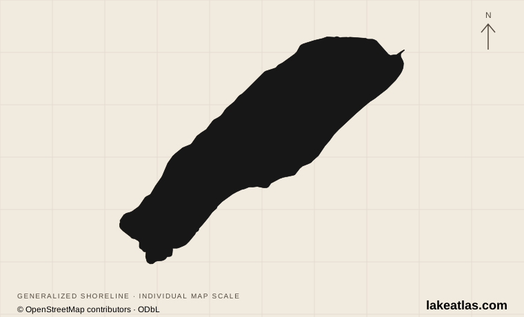
Shoreline illustration · individual scale · © OpenStreetMap contributors · ODbL
Canada
Glacial color in the Canadian Rockies
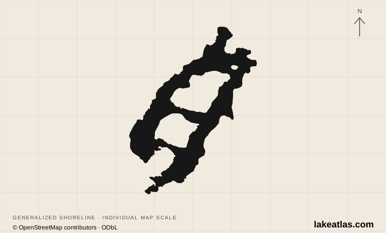
Shoreline illustration · individual scale · © OpenStreetMap contributors · ODbL
United States
Two lakes and an Olympic village
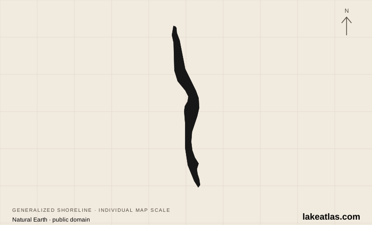
Shoreline illustration · individual scale · Natural Earth
United States
Deep water between Geneva and Watkins Glen
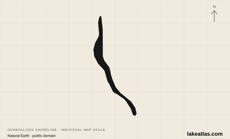
Shoreline illustration · individual scale · Natural Earth
United States
Ithaca, waterfalls and long public-shore journeys
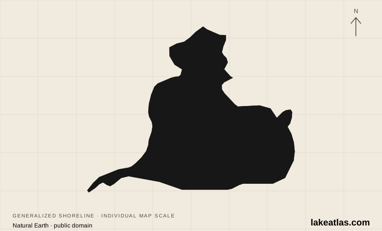
Shoreline illustration · individual scale · Natural Earth
United States / Canada
Wetlands between the Great Lakes
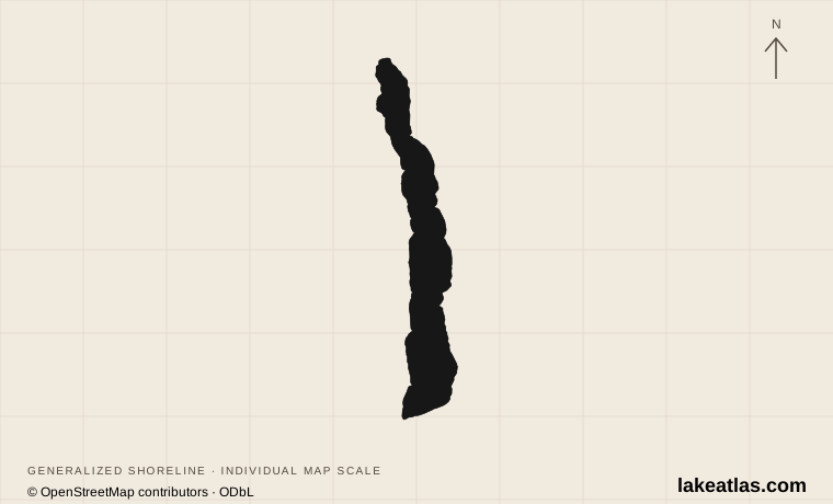
Shoreline illustration · individual scale · © OpenStreetMap contributors · ODbL
United States
A deep basin beyond the sandbar
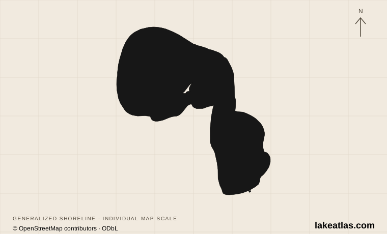
Shoreline illustration · individual scale · © OpenStreetMap contributors · ODbL
United States
Two parks on one clear lake
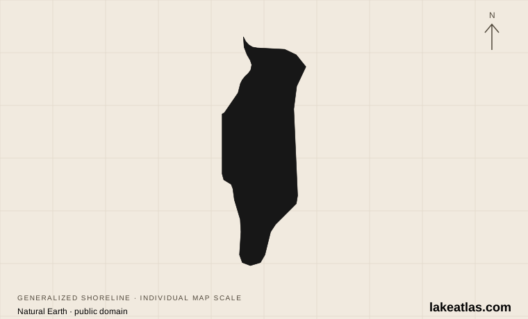
Shoreline illustration · individual scale · Natural Earth
United States
A broad, shallow Wisconsin lake
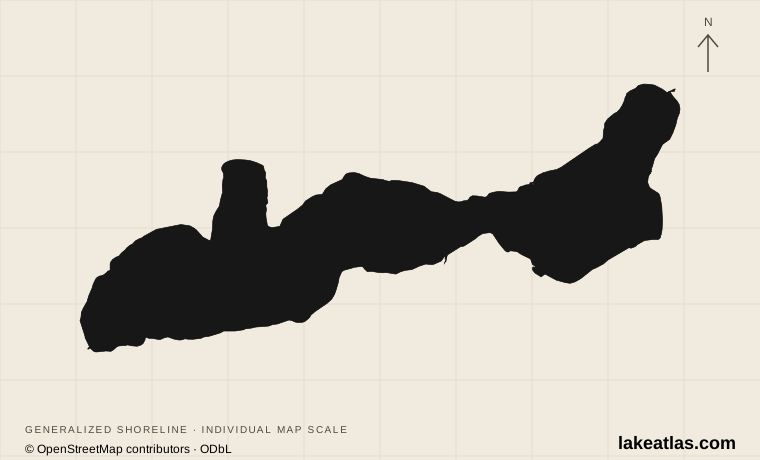
Shoreline illustration · individual scale · © OpenStreetMap contributors · ODbL
United States
Shore Path, historic estates and resort towns
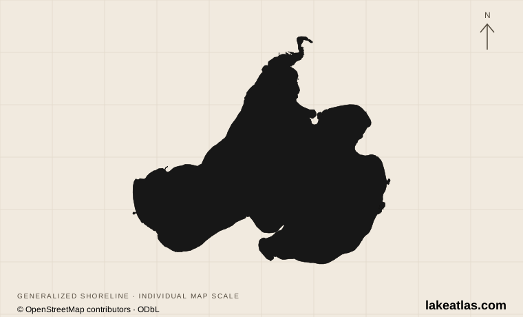
Shoreline illustration · individual scale · © OpenStreetMap contributors · ODbL
United States
Urban parks, university shore and lake science
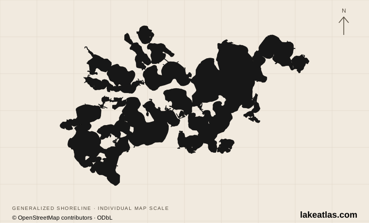
Shoreline illustration · individual scale · © OpenStreetMap contributors · ODbL
United States
Interconnected bays and suburban waterfronts
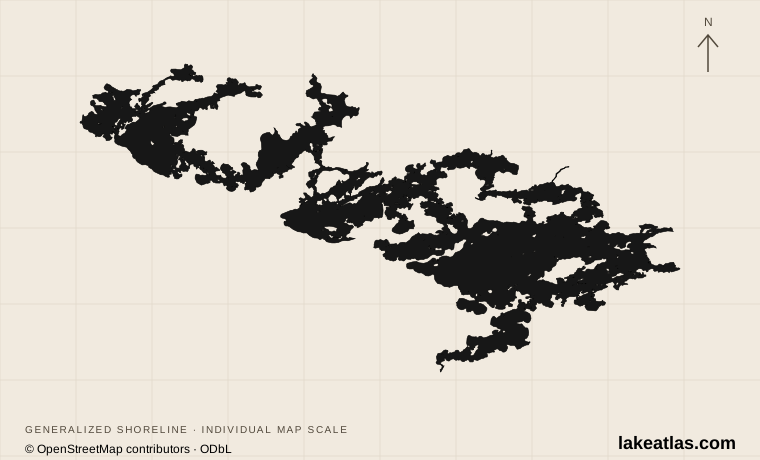
Shoreline illustration · individual scale · © OpenStreetMap contributors · ODbL
United States
Rocky islands, fishing and boat-based stays
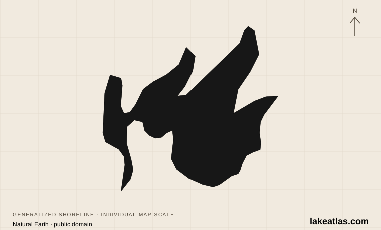
Shoreline illustration · individual scale · Natural Earth
United States
Large bays, fishing and forest campgrounds
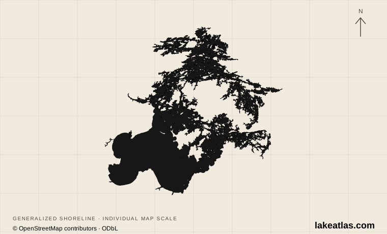
Shoreline illustration · individual scale · © OpenStreetMap contributors · ODbL
United States / Canada
International waters and island channels
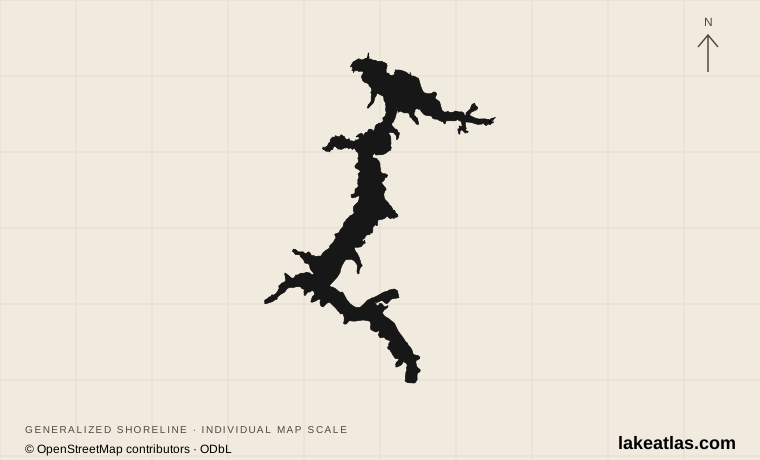
Shoreline illustration · individual scale · © OpenStreetMap contributors · ODbL
United States
City waterfront and wooded southern bays
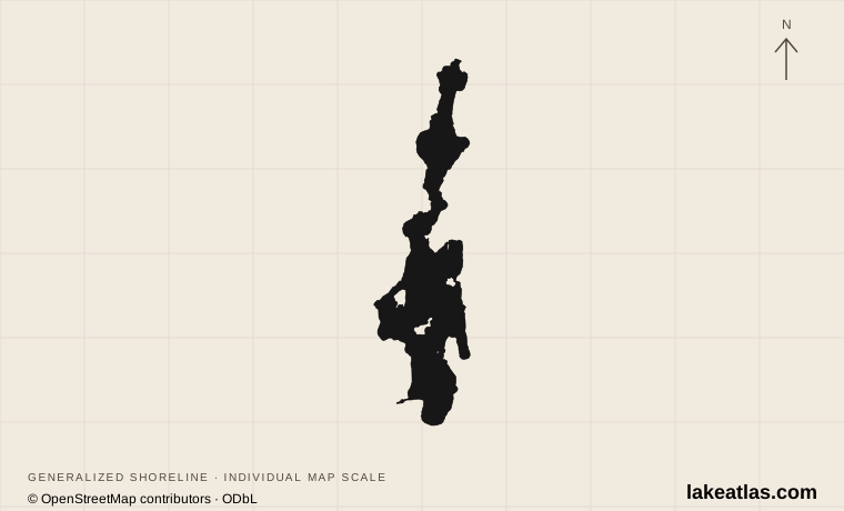
Shoreline illustration · individual scale · © OpenStreetMap contributors · ODbL
United States
Forest shores and a remote upper lake
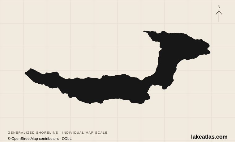
Shoreline illustration · individual scale · © OpenStreetMap contributors · ODbL
United States
A glacial lake below Olympic forests
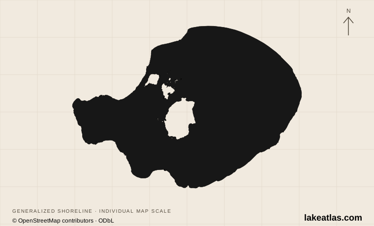
Shoreline illustration · individual scale · © OpenStreetMap contributors · ODbL
United States
Tufa and bird habitat in a closed basin
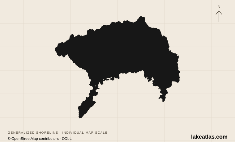
Shoreline illustration · individual scale · © OpenStreetMap contributors · ODbL
Guatemala
A volcanic basin linking Maya communities